
Guest Blog: The Power of Location for project and asset control
 When GIS & BIM combine: Unlocking insights from your projects & assets
There’s an explosion of external data sources that are becoming available such as Geospatial, Land Registry, Ordnance Survey etc, or iOT, scans and point clouds but how can you ensure that data doesn’t just become more noise? asks Trevor Mossop, Technical Services Manager at J T Mackley & Co Ltd (pictured)
Trevor: At this year’s thinkBIM Summer Conference I demonstrated the “The Power of Location” by looking at what we ultimately want to do with that information, how we can make best use of it to answer the questions we have, and how can we be assured that it is current and trusted information throughout the lifecycle of the asset.
At Mackley, up until 2016 we were still reliant on storing and sharing information on network servers and via email, which was becoming costly and inefficient. Field workers couldn’t easily access information when on site.
As a main contractor specialising in flood defence and coastal maintenance projects, most of our work is for the Environment Agency and similar customers, and as such we needed a CDE to demonstrate BIM level 2 compliance (a prerequisite for EA frameworks.) Initially, we were only interested in having somewhere central to access project and business information, that met BIM level 2 requirements.
While the CDE was readily accepted in the office locations, site workers were still having trouble finding the right information so during the Shoreham Adur Tidal Wall project, I started investigating how to provide site user access to key site information in an intuitive and visually appealing way. My investigations lead me to Google Earth, using KML files to link to project information through a map of the site and surrounding area.. At the same time I discovered that GroupBC, our CDE partner, were investigating similar issues around usability, so we teamed up to develop a solution that removed the reliance of complex and expensive GIS tools, and instead allowed us to leverage our existing CDE investment.
Many BIM solutions fail as site workers can’t find the right location without navigating folder structures or clicking through alien ‘metadata’ fields. So in response to this, at thinkBIM, I’ll be demonstrating this solution, and the workflows we created to simply upload Google Earth KML files to the CDE and link the site drawings and documentation to their project location using a map – the most natural, intuitive interface for our site workers.
When information is correctly structured and linked from the CDE to the project and/or asset, using an easy to use interface, this encourages users to trust the solution and the providence of data available to make more informed site based decisions.
Such a solution can also be used to push Health and Safety information based on location. For instance, a site worker by a river can simply click on the location on the map, and instantly access related documentation about dangers of working there, and any issues or precautions they should be aware of. Similarly, O&M manuals for an asset can be accesses via a single click on the map interface.
Only by providing a simple location driven interface, will site workers fully engage with BIM.
Related Posts
A day at the YORhub Client Conference
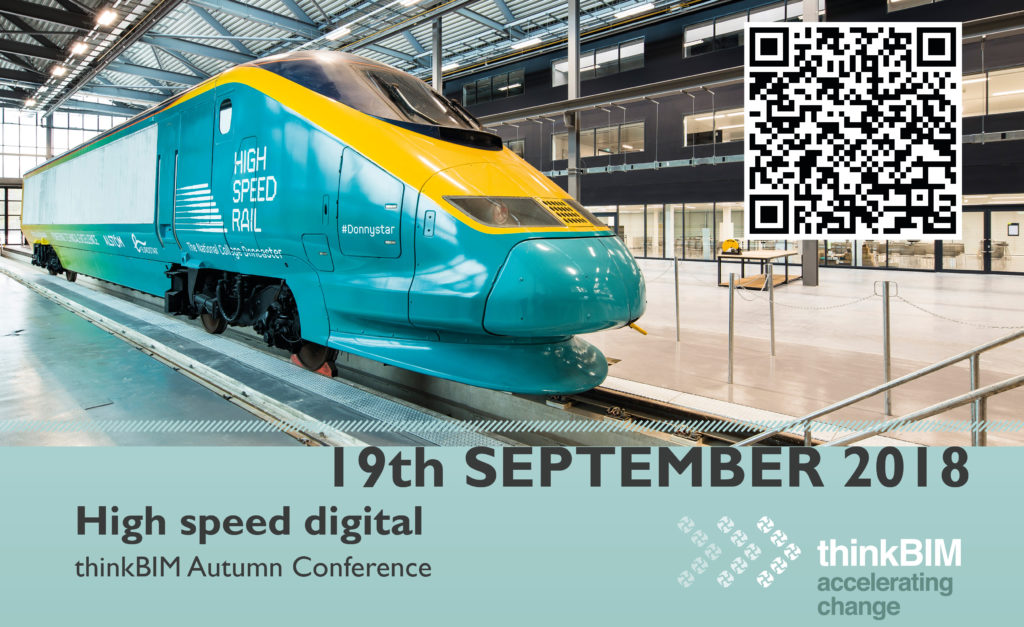
thinkBIM: High Speed Digital half day conference – BIM for Rail and Digital Skills